Massacre Rim Wilderness Study Area International Dark Sky Sanctuary
About Massacre Rim Wilderness Study Area International Dark Sky Sanctuary
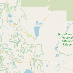
Massacre Rim is a Wilderness Study Area in far northern Washoe County, Nevada, near the California and Oregon borders. The Bureau of Land Management manages it through its Applegate and Black Rock field offices. It was named an International Dark Sky Sanctuary on March 19, 2019. The BLM gives the study area as 101,290 acres.
The ground is two volcanic plateaus over wide valley floors, with a 1,200 foot escarpment on the west side dropping into Long Valley. Reno is more than 150 miles south. The BLM calls it one of the darkest places on Earth, and our light pollution map estimates Bortle 1. We found no published sky quality meter readings.
Getting there takes planning. The final approach is on maintained gravel roads that can be impassable when wet or snowy. The BLM says roads inside the sanctuary are extremely rough and rocky and recommends 4WD, good clearance, good tires and a spare. Friends of Nevada Wilderness suggests a second spare. Off-road driving is prohibited. Expect no cell service, and the nearest gas is 40 to 90 miles away in Cedarville, Gerlach or Denio.
Dispersed camping is allowed throughout the sanctuary. BLM campgrounds, Sheldon National Wildlife Refuge and Modoc National Forest are nearby options. Cattle and wildlife share the roads on open range.
May, June and July give the most core hours in our data, and the core peaks about 19 degrees above the southern horizon. The BLM warns that roads may not be passable from November through May because of snow or mud. Late spring trips carry the most risk, so check conditions with the Applegate office before you go.
Milky Way Calendar
Nightly visibility ratings for Massacre Rim Wilderness Study Area International Dark Sky Sanctuary
Recognition
2019
DarkSky International
2c
113 ha